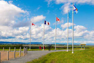
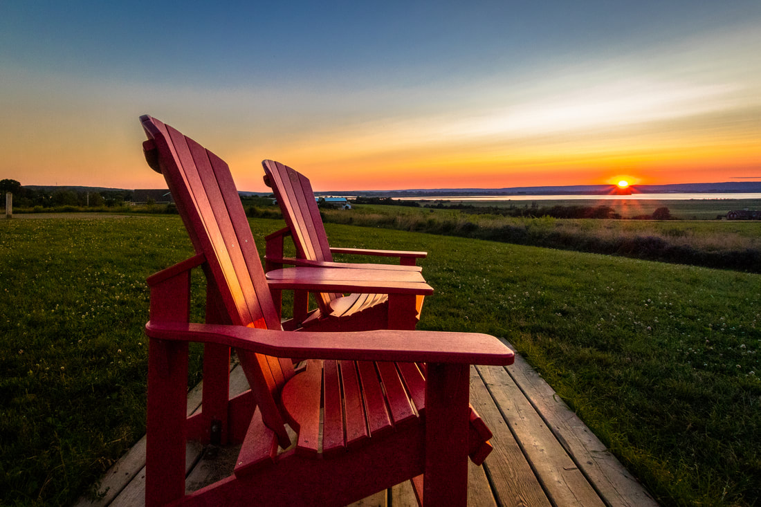
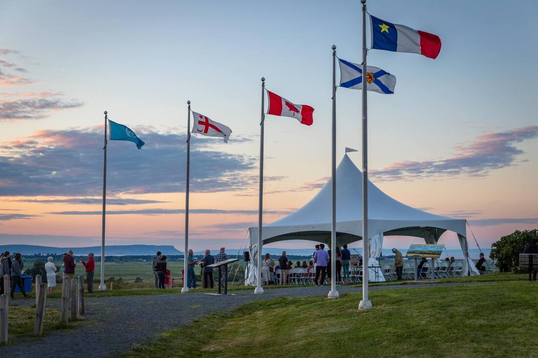
The full expanse of the Landscape of Grand Pré can be best appreciated from the View Park on Old Post Road. Facing North from the View Park towards the expanse of dykelands of the World Heritage Site. To the east and west are dykes protecting the active agricultural landscape. The Memorial Church at Grand Pré National Historic Site can be seen in the middle distance; Long Island is to the north of the dykelands and the cliffs of Blomidon in the distance.
|
|
The View Park
|
|
|
Old Post Road, Grand Pré
|
A panoramic viewing platform was developed at the top of the cornfield upland above the National Historic Site. The Viewing Deck provides the quintessential “bird’s eye view of the marshland, dykes, National Historic Site and the Bay of Fundy and tides. This Viewing area is a legacy for the community. The view of the 1111-hectare (2745 acres) of dykelands within the World Heritage Site is framed by the dramatic Cape Blomidon, from which tradition holds, the legendary Mi’kmaw figure Kluscap (Glooscap) kept a watchful eye over his people.
In August 2010, agreements were negotiated with Parks Canada by a group of local residents to accept donations to purchase a property to transfer the land to Parks Canada to develop the View Park
In August 2010, agreements were negotiated with Parks Canada by a group of local residents to accept donations to purchase a property to transfer the land to Parks Canada to develop the View Park
|
|
Harvest Table |
|
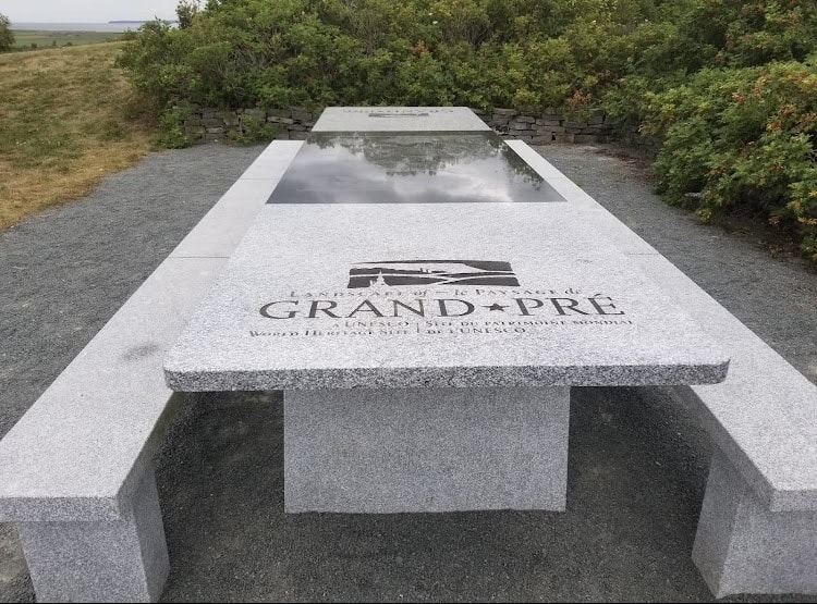
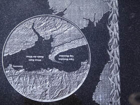
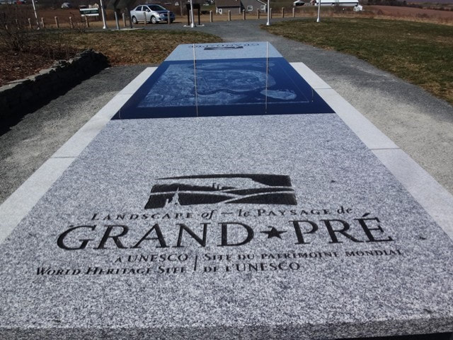
On April 19th 2016, the Landscape of Grand Pré installed a beautiful solid granite harvest table at the View Park on Old Post Road. Beautifully carved in the map of the UNESCO World Heritage Site. This initiative was made possible by the Canadian Chefs' Congress, with support from the Municipality of the County of Kings. The Landscape of Grand Pre Society would like to thank Parks Canada, Heritage Memorials, and Lost Art Cartography for their contributions to the project. This beautiful community granite table will comfortably seat fourteen people

