Grand Pré is located in a vibrant natural environment which includes Evangeline Beach, part of the Western Hemisphere Shorebird Reserve Network, where you can witness the massive summer migrations of semi-palmated sandpipers, the huge tides of the Bay of Fundy, the Guzzle and Boot Island (a National Wildlife Area). The Minas Basin is part of a Wetland of International Importance.
|
|
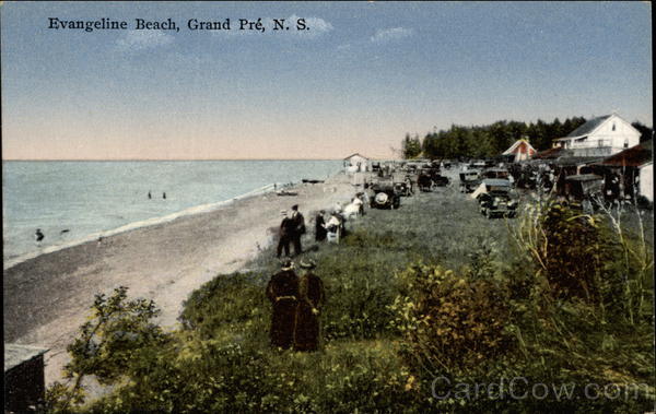
Evangeline Beach
|
|
|
|
Watch the Tides |
|
Spend a beautiful summers day watching the highest tides in the world come in from the Bay of Fundy, watching the Evangeline Beach disappear in to the tide, bringing a fresh new stock of fish for the fishermen to enjoy.
|
|
Tide Times |
|
The greatest ranges and the greatest extent of an intertidal zone occur today in the Minas Basin. As part of the tidal cycle – two high tides and two low tides daily–100 billion tonnes of sea water flow in and out of the Minas Basin twice each day. That is more water than the combined daily flow of all the world’s rivers.
|
|
The Guzzle
|
|
Semipalmated Sandpiper Shore Birds flock to the Bay of Fundy before their three-day migration to and from South America to their breeding grounds in northern Canada. It`s a marvel of nature to witness thousands of sandpipers do their "magical" murmuration over the shores of the Bay of Fundy in the Minas Basin.
Evangeline Beach, is the centre of immense congregations of shorebirds in autumn, perhaps 90 per cent of which are of this species. Locally known as "peeps," they begin to arrive in early July and are augmented steadily by new arrivals from the north until about mid-August when a peak is reached.
The Minas Basin has been designated an Important Bird and Biodiversity Area (IBA) due to its significance as a staging area for many bird species. The tide here fluctuates 16-17 meters between high and low tide. During medium and low tides, vast expanses of mudflats are exposed, creating a tremendous feeding area for shorebirds.
The Minas Basin has been designated an Important Bird and Biodiversity Area (IBA) due to its significance as a staging area for many bird species. The tide here fluctuates 16-17 meters between high and low tide. During medium and low tides, vast expanses of mudflats are exposed, creating a tremendous feeding area for shorebirds.
|
|
The Highest Tides in the World |
|
Following the retreat of the glaciers after the last Ice Age about 14 000 years ago, sea levels around the planet rose. Rivers draining from the newly deglaciated land began to wash away sediment. In Eastern Canada, these sediments came to line the bottom of the Bay of Fundy. At this time, the Minas Basin was a shallow freshwater or brackish lake, and Georges and Browns Banks at the entrance to the Bay of Fundy were dry land. As sea levels continued to rise, and Georges Bank became submerged, more sea water entered the Bay. By 4000 years ago, the tidal range in the Minas Basin was only about 1 to 1.5 metres (3.2–4.9 feet), but this range has steadily increased over time to an average of 12 metres (39 feet) in the Minas Basin, 11.61 metres (38 feet) at Grand Pré and a maximum in excess of 16 metres (52.5 feet)
|
|
History of Evangeline Beach |
|
Evangeline Beach in North Grand Pré has been a very popular tourist attraction since the early 20th century!