
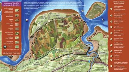
From the View Park on Old Post Road in Grand Pré, you can see the Memorial Church at Grand-Pré National Historic Site, Look north to see the expansive dykelands of the UNESCO World Heritage Site holding back the high tides of the Bay of Fundy. Farther north of the dykelands is Long Island and farthest off in the distance are the cliffs of Blomidon. East and west are dykes protecting the active agricultural landscape.
|
|
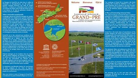
Grand Pré
|
|
|
Live WebCam |
|
|
Follow on Social Media@LandscapeofGrandPre
|
|
|
|
|
|
Projects |
|
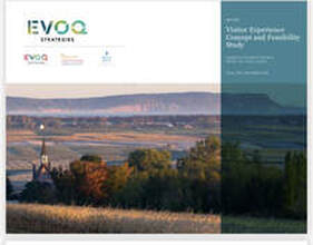
Visitor Experience Concept and Feasibility Study ReportThe final report of a visitor experience concept and feasibility study for the Landscape of Grand Pré World Heritage Site. The Board of Directors is pleased to share the report in order to generate additional discussion and input regarding the development of a visitor experience concept.
|
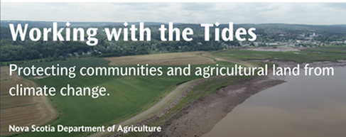
Protecting communities and agricultural land from climate changeNova Scotia’s dykeland system protects agricultural land, public infrastructure, cultural assets commercial and residential properties throughout the province. The system needs to be upgraded to reduce the potential economic, environmental and social effects of climate change as storms increase in intensity and frequency.
|